This is Mt. Rainier with a cloud flowing over the top. We had perfect weather for nearly the entire week - clear blue skies and warm temperatures. Not very common in the Pacific Northwest. And the day we spent in Portland they had a record high of 95 degrees. Could have missed that, we have enough of that here.
This is a group of hikers heading up Mt. Rainier. You can hire a guide to lead you all the way to the top. It's a two day event with only about 4-5 hours of sleep. Very strenuous.
 Then we went to see Mt. St. Helens, the volcano that erupted in May of 1980. There has been some volcanic activity here with lava domes building up in the crater for the past two years. Sometimes the dome erupts with some steam and ash, but nothing major, as long as you're far enough away. The land around Mt. St. Helens, at least what is part of the National Monument, is being left to recover on its own, and it's pretty slow going. Nearest to the volcano it looks like a moonscape. The day we were there the wind was blowing fiercely and getting bombarded with ash was not pleasant.
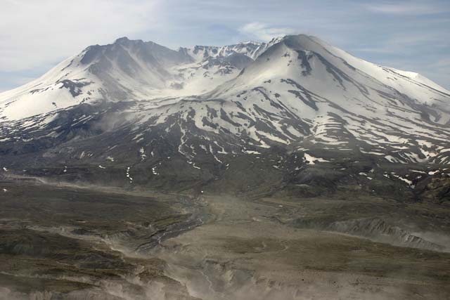
Much of the land that was affected by the 1980 eruption is owned by Weyerhauser, the lumber company. They lost millions of trees. They weren't going to let the land recover on its own, so they harvested the dead trees, tilled the soil, and planted millions of seedlings. The contrast between the replanted land and the untouched land is pretty stark.
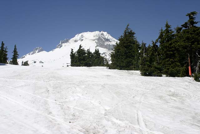 This is Mt. Hood. It's possible to ski here all year round. We stayed at the Timberline Lodge, which was built in 1936 by the WPA. It has a very interesting history. It's constructed to withstand the huge amount of snow that falls every year. Our room was on the third level and we looked out our window to see the top of the snow. On the second floor the snow nearly covered the windows. And again, we could walk on the snow in our shirtsleeves.
The rest of the trip we spent along the Columbia River Gorge. Did a bit of hiking, several miles a day. Some hikes were level and quite easy, even paved, while others seemed to go straight up the side of the cliffs. The paved paths were supposedly wheelchair accessible, but I wouldn't want to be pushing a wheelchair up some of the grades.
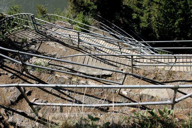
This one was not wheelchair accessible. This is the path up Beacon Rock, a mile long with an 800 foot elevation gain. The path was constructed by two men in the 1930's and it's all switchbacks. Goes up to the top of the rock, which is along the Columbia River and is thought to be the cone of an ancient volcano. It stands by itself and has been a landmark forever. Lewis and Clark mention it in their writings.

Along the Oregon side of the river are many spectacular waterfalls. This is Multnomah Falls and is the 2nd largest year-round waterfall in the US. It falls 620 feet. You can go up to this bridge and see the upper falls. Several years ago a boulder came off the cliff and fell into the pool at the base of the falls. It was as big as a schoolbus and made a splash 70 feet high. All those standing on this bridge were drenched, including a wedding party there to take pictures. I'll bet those are memorable!
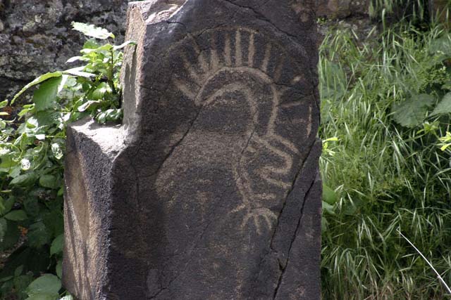
Here is one of the stones with petroglyphs on it. The stones have been moved from their original locations because those sites were drowned with the building of the dams. The dams provide electric power and make navigation of the river easier, but it's a shame that so much history has been lost.
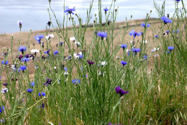
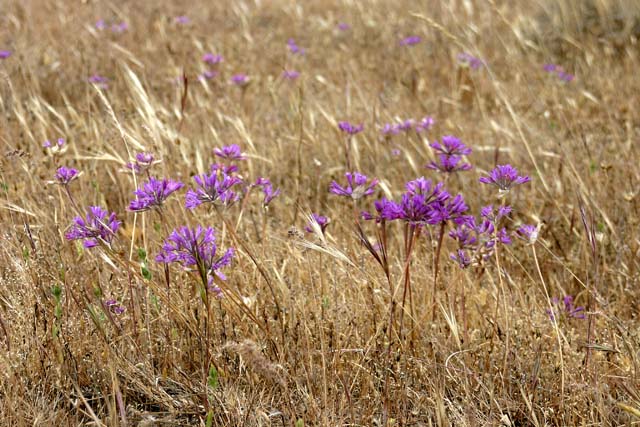
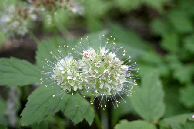
I enjoyed taking pictures of flowers and other vegetation on our hikes. Spring is when an abundance of wild flowers bloom and they were everywhere. Don't ask me the names of these flowers; I didn't have a field guide, and probably wouldn't remember them anyhow.